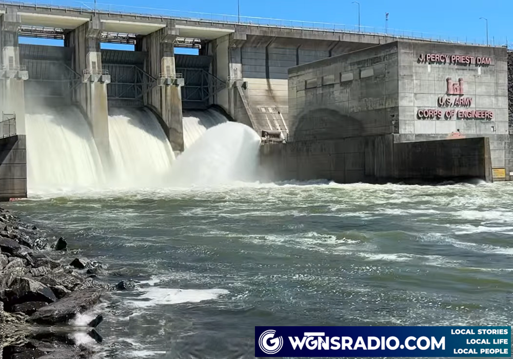

RUTHERFORD COUNTY, TN - Rutherford County residents may notice changes in local water levels this week as the U.S. Army Corps of Engineers Nashville District increases hydropower generation to meet rising energy demands during an extreme cold snap. Over the next five days, the Corps will manage lakes across the Cumberland River Basin, including J. Percy Priest Lake, which supplies much of Rutherford County’s water through the Stones River.
Robert Dillingham, water manager for the Nashville District, explained that lowering lake levels in winter is routine, but the current forecast requires heavier generation than usual. “The public will see lake elevations drop slightly below normal,” Dillingham said. “These operations will necessitate atypical water releases and fluctuations over the next several days.”
For Percy Priest Lake, projections show a drop of about one foot, bringing the elevation near 482.8 feet. While this adjustment is not expected to disrupt drinking water supplies, it could affect marina operators, boat owners, and dock owners, who are urged to take precautions to protect property from shifting conditions. Shorelines may look different, and recreational access could be temporarily impacted.
The Stones River, which flows through Rutherford County, will also experience changes in water flow as part of the increased generation schedule. Residents may notice stronger currents or changes in clarity, though officials emphasize that the adjustments are carefully managed to balance energy needs with environmental stewardship.
Dillingham noted that the Corps is working closely with hydropower partners to ensure efficient delivery of clean, renewable energy during the cold spell. He also reminded the public to use caution near dams, as release schedules can change without notice.
Looking ahead, Nashville District water managers do not expect the current dry weather pattern to persist into 2026. However, if dry conditions continue, lake elevations could dip even lower.
The Corps of Engineers manages the Cumberland River and its tributary reservoirs to provide flood risk management, navigation, hydropower, water supply, and environmental stewardship.