


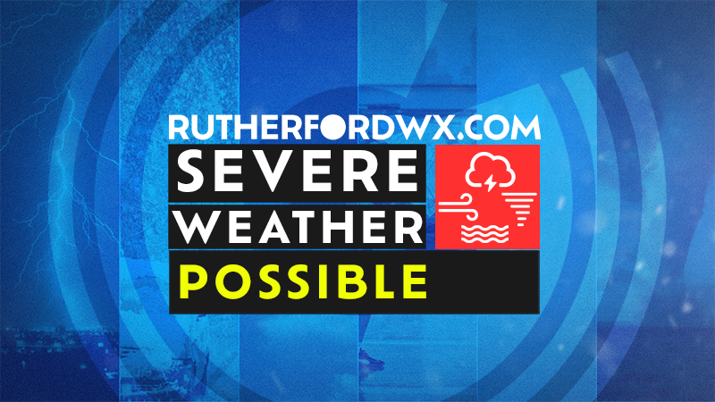
NASHVILLE - The Tennessee Emergency Management Agency (TEMA) encourages all Tennesseans to monitor National Weather Service forecasts and take preparedness steps as multiple rounds of significant severe weather, including the threat of damaging winds, large hail, and tornadoes, are expected to impact the state from late Friday (March 14) through Saturday night (March 15).
According to the National Weather Service (NWS), a line of thunderstorms associated with a cold front will move into the state late Friday night through Saturday morning. Additional storms may initiate midday Saturday into the evening hours. Localized areas of flash flooding will also be possible due to heavy rainfall (2”+) with the slow-moving system.
“There is the potential for nighttime tornadoes while many will be sleeping,” said TEMA Meteorologist Megan Schargorodski. “Stay informed with the latest forecast and current situation with the National Weather Service office serving your area.”
In addition to the severe weather threat, the NWS is also monitoring the potential for strong non-thunderstorm winds of 40mph+ ahead of and with this system. Stronger gusts exceeding 55mph are possible at higher elevations in East Tennessee, increasing concerns of fire danger.

As the event gets closer, details will change, and confidence will grow on locations, timing, and hazard impacts. Stay informed with the latest forecast and current situation with the NWS office serving your area.
TEMA will continue to monitor conditions and coordinate with local, regional, and state partners to support readiness actions and any requests for resources. Tennesseans should make alternative plans for any outdoor activities and stay tuned for forecast updates over the next few days.
Also, it's a good time to like, subscribe and turn on notifications for Rutherford Weather's various video channels on YouTube, Facebook, X and Twitch. There you'll get local, Rutherford County, weather information.
KNOW YOUR ALERTS
Watch vs. Warning
Have multiple ways to receive alerts on changing conditions and understand the terms used by the NWS when those alerts are distributed.
Severe Thunderstorm Watch: Severe thunderstorms are possible in and near the watch area. The watch area is typically large, covering numerous counties or even states.
Severe Thunderstorm Warning: Severe weather has been reported by spotters or indicated by radar. Warnings indicate imminent danger to life and property.
Tornado Watch: Tornadoes are possible in and near the watch area. Be ready to act quickly if a warning is issued or you suspect a tornado is approaching.
Tornado Warning: A tornado has been sighted or indicated by weather radar. There is imminent danger to life and property. Warnings typically encompass a much smaller area (around the size of a city or small county) that may be impacted by a tornado identified by a forecaster on radar or by a trained spotter/law enforcement who is watching the storm.
|
TAKE ACTION If there is a Tornado Warning issued, seek shelter immediately. Indoors |
|
|
Outdoors |
|
|
BE PREPARED Stay Informed |
|
|
Make a Plan |
|
|
Build a Kit |
|
|
Nighttime Severe Weather Checklist |
|