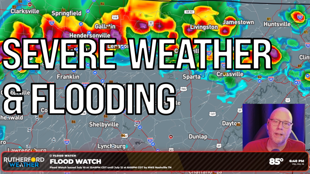

MURFREESBORO, Tenn. (Rutherford Weather) - Rutherford County residents need to prepare for a wet and potentially stormy weekend as severe weather moves into Middle Tennessee. The National Weather Service placed the area under a flood watch through Sunday to handle the incoming heavy rains. Forecasters expect several rounds of storms to hit the county, starting as early as Saturday morning.
The Storm Prediction Center issued a level two out of five slight risk for severe weather on Saturday. Damaging straight-line winds remain the primary concern. There is a fifteen percent chance of these high winds popping up anywhere across the county. Northern sections of Rutherford County could also see some marginal, pocket-change-sized hail, according to the outlook.
Rain totals will vary depending on where the storms choose to park. Early computer models estimate La Vergne could see around two inches of rain. Murfreesboro, Smyrna, and Christiana are tracking closer to an inch and a half of total precipitation. Again, that's just a computer model's projections and locally higher amounts are possible. Local drivers should remain alert for standing water on the roadways throughout the weekend.